


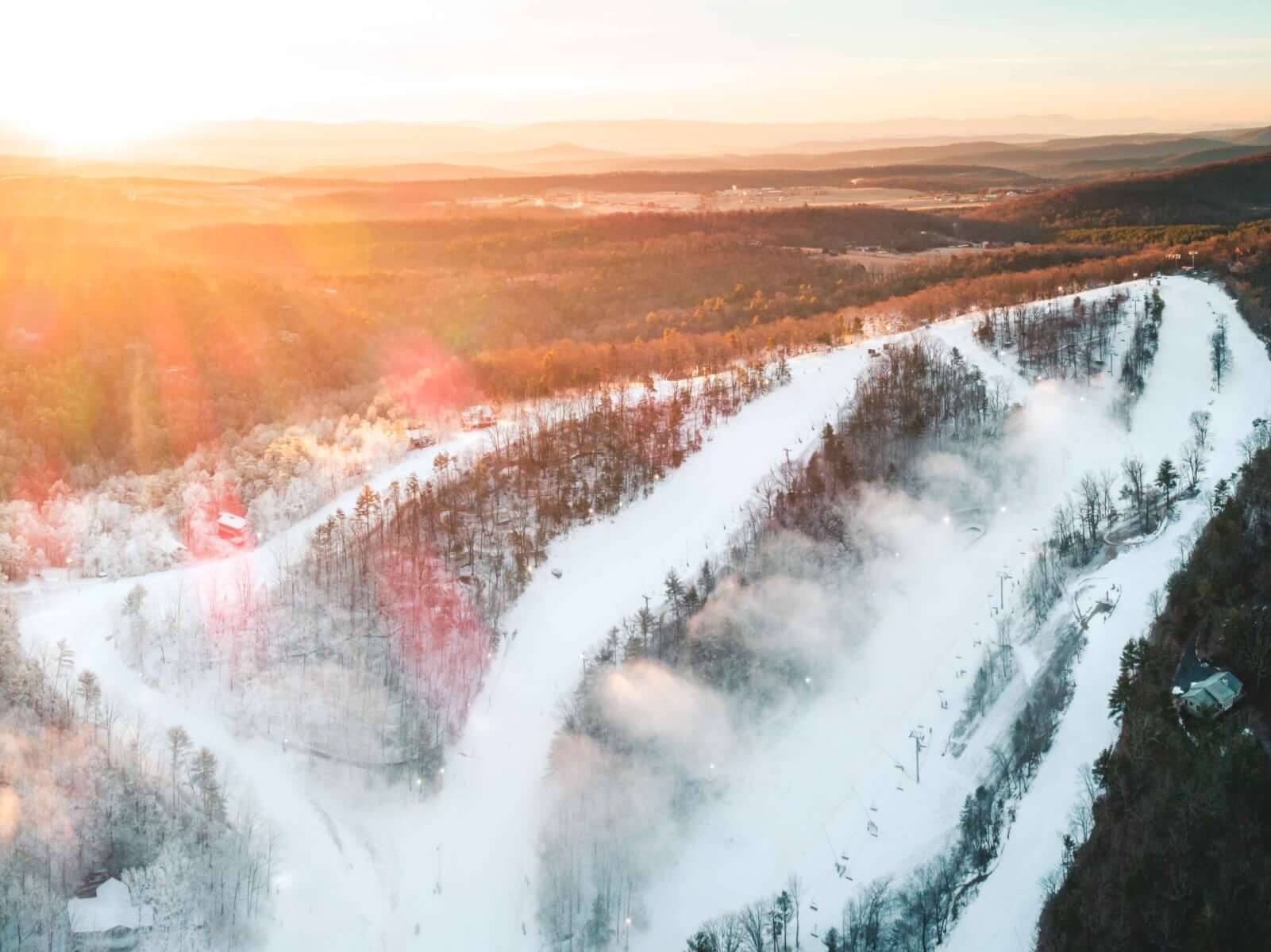
Winter Storm Warning
First major winter storm of the season is fast approaching. We are expecting anywhere from 6 to 12 inches of snow. Road conditions will be hazardous Monday so please take precautions if you plan to travel. Bryce Resort does not manage maintenance for the roadways around the resort so we cannot guarantee all roads will be plowed immediately. If you are traveling here please do not follow your maps app. Straton Way off of Supinlick will likely be closed. We advise you to stay on 263 until Resort Dr.
...WINTER STORM WARNING REMAINS IN EFFECT FROM 10 PM THIS EVENING TO 1 AM EST TUESDAY...
* WHAT...Total snow and sleet accumulations between 6 and 9 inches, with amounts of 10 to 12 inches possible in isolated spots if heavy banding sets up in this area. Ice accumulations of a trace possible, mainly near and south of US Route 50.
* WHERE...Portions of northwest Virginia and eastern West Virginia.
* WHEN...From 10 PM this evening to 1 AM EST Tuesday. Highest snowfall rates occur late tonight into early Monday morning. Snow may mix with sleet and perhaps some freezing rain Monday morning into the afternoon. A lull in precipitation will occur sometime during the afternoon.
* IMPACTS...Travel could be very difficult. The hazardous conditions could impact the Monday morning and evening commutes.
* ADDITIONAL DETAILS...A second round of heavy snow is possible Monday evening before precipitation ends. PRECAUTIONARY/PREPAREDNESS ACTIONS... If you must travel, keep an extra flashlight, food, and water in your vehicle in case of an emergency. The latest road conditions for the state you are calling from can be obtained by calling 5 1 1.